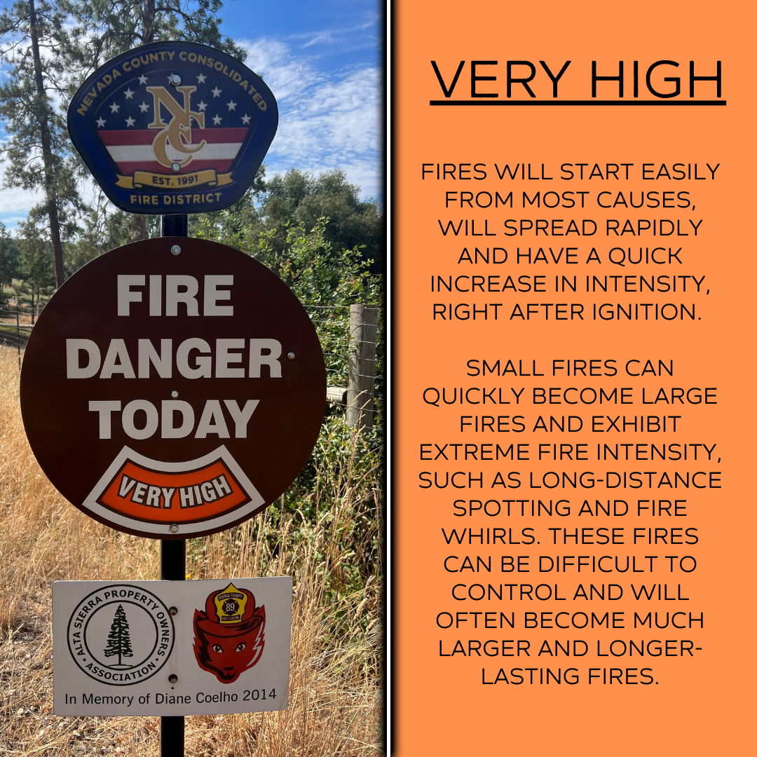
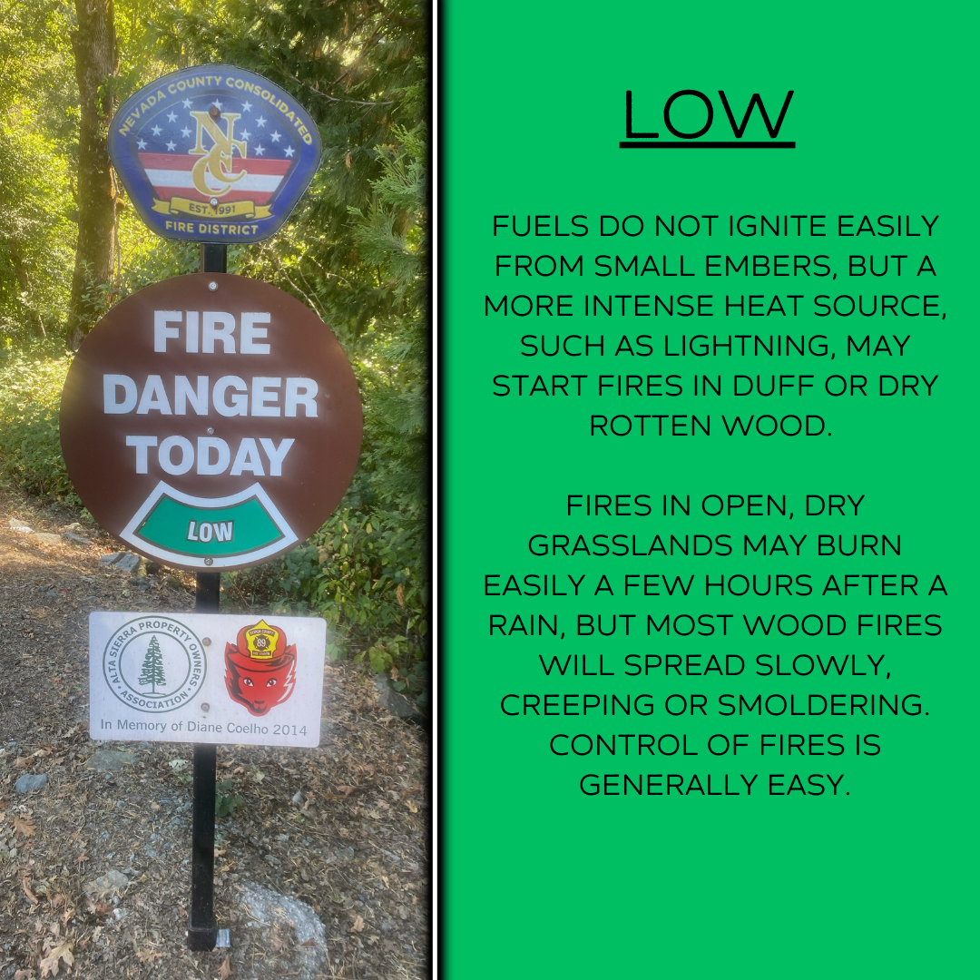
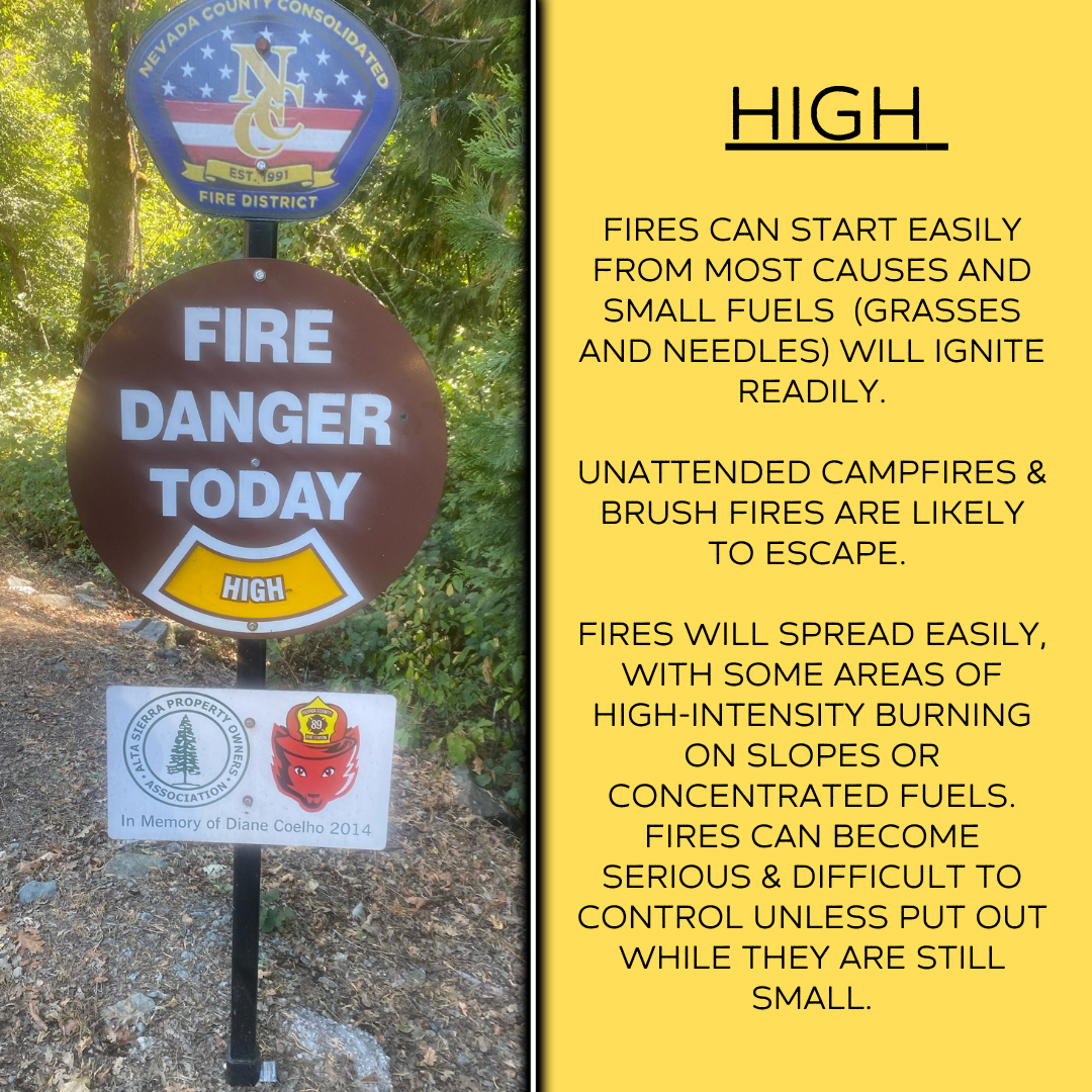
What Does Each Level of Fire Danger Mean?
Crews from NCC Fire Station 88 and 89 are responsible for the updating of these fire danger signs at the entrances to Alta Sierra each day. Crews utilize the Wildland Fire Assessment System (WFAS) an integrated, web-based resource to support fire management decisions. It has an extensive nationwide user base of federal, state and local land managers. The system provides multi-temporal and multi-spatial views of fire weather and fire potential, including fuel moistures and fire danger classes from the US National Fire Danger Rating System (NFDRS), Keetch-Byram and Palmer drought indices, lower atmospheric stability and satellite-derived vegetation conditions. It also provides fire potential forecasts from 24 hours to 30 days. Click here for more info on WFAS. Here is some information on each level of fire danger: